江東区防災マップ: 포괄적인 재난 대비 앱
江東区防災マップ is a free Android app developed by 江東区. It falls under the category of Travel & Navigation and aims to provide users with essential information and features to prepare for and navigate through disasters. The app offers a wide range of functionalities, including real-time updates on the status of evacuation shelters and facilities for those with difficulty returning home. Users can receive push notifications for the latest information, use social media and Google Person Finder for safety confirmation, access flood and inundation hazard maps, and utilize a disaster preparedness guide. The app also provides useful features such as crime prevention lights and links to relevant resources, all available in multiple languages including English, Simplified Chinese, and Korean. With 江東区防災マップ, users can stay informed and prepared for any potential disaster.
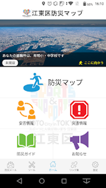
The app includes various sections such as "Disaster Map," "Safety Information," "Disaster Updates," "Disaster Preparedness Guide," "Announcements," "Light," "Buzzer," "Links," and "Settings." It is compatible with Android OS 7.0 and above. 江東区防災マップ is completely free to download and use, with no additional charges for accessing any information (data charges for downloading the app may apply separately).
